DownloadMapImage
Download Google Maps photos, Street View and 360° panoramas for free
- Launched
- Nov 6, 2026
- Website
- downloadmapimage.com
- Pricing
- Free
- Platforms
- Web, Chrome extension
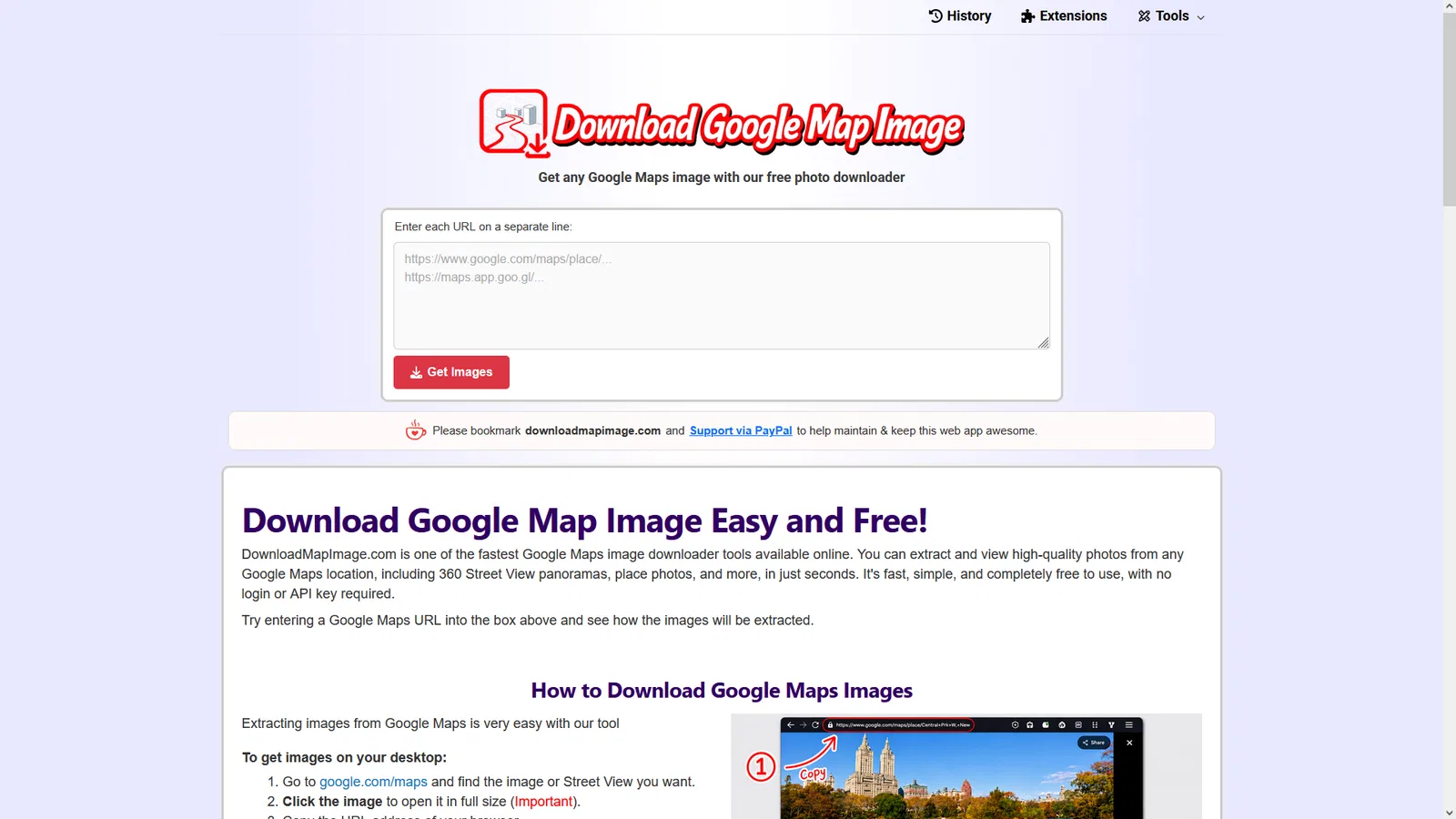
DownloadMapImage extracts and downloads images from Google Maps URLs, including place and business photos, Street View imagery, and 360° panoramas. It is intended for researchers, travelers, marketers, business owners, content creators, GIS enthusiasts, and anyone who needs a map image without taking screenshots or using GIS software.
Paste one or more Google Maps links into the website, then select Get Images. The service recognizes standard, place, photo, Street View, mobile, shortened maps.app.goo.gl, and country-specific Google Maps URLs, follows redirects, locates available image sources, and selects the highest-resolution version available. Results can be viewed, opened at full size, and downloaded directly. The site also provides browser extensions for one-click extraction from Google Maps pages and a separate tool for stitching Street View panoramas.
What DownloadMapImage does
- Google Maps image extraction: Extracts place, business, Street View, and 360° images from Google Maps URLs.
- Batch URL processing: Paste multiple URLs or Panorama IDs, one per line, and process them in a single request.
- High-resolution downloads: Finds the highest-resolution image available and lets you open or download it directly.
- Mobile short-link support: Automatically resolves maps.app.goo.gl links copied from the Google Maps mobile app.
- 360° panorama stitching: Detects Street View panoramas and assembles their tiles into a single 360° image.
- Browser extensions: Adds a Get Image button to supported Google Maps pages for one-click extraction.
Who it's for
Researchers, travelers, marketers, businesses, content creators, GIS enthusiasts, and anyone who needs images from Google Maps.
Why people use DownloadMapImage
Getting high-quality Google Maps imagery can require screenshots, manual cropping, complicated URLs, or specialized GIS software.
Paste a Google Maps image or Street View URL to extract available image files, view them at full size, and download them directly.
The service processes Google Maps URLs without an account, login, or Google Maps API key, and can resolve mobile short links and assemble 360° panoramas.
Pricing
DownloadMapImage is free to use.
Platforms
DownloadMapImage runs on Web, Chrome extension.
DownloadMapImage FAQ
- Is DownloadMapImage free?
- Yes. The site says it is 100% free, with no registration, subscription, or hidden fees.
- Do I need a Google Maps API key?
- No. The service says no Google Maps API key is required.
- Do I need an account or login?
- No. The site says no account or login is needed.
- What kinds of Google Maps images can it download?
- It can extract Street View panoramas, 360° images, and place or business photos uploaded to Google Maps.
- Can multiple URLs be processed at once?
- Yes. Paste one URL per line. There is no strict limit, although batches of 5 to 10 URLs are recommended for best performance.
- Does it work on mobile browsers?
- Yes. DownloadMapImage works on desktop and mobile browsers and supports links copied from the Google Maps app.
- Are URLs and images stored on the service?
- The site says URLs are processed in real time and not stored. Session history is saved locally in the browser; stitched 360° panoramas are stored temporarily and deleted automatically within about an hour.
- Why might a URL return no images?
- The URL may point to a regular location page instead of a specific image or Street View page. Open the image in full size in Google Maps before copying its URL.
DownloadMapImage launched on IndieLaunch on November 6, 2026 in Productivity, Design Tools, Content Creation. Visit DownloadMapImage
New to these terms? Read what Side project and Indie hacker mean.
Similar products
 Invisible TextsCopy invisible characters, zero-width spaces and blank text in one click
 StellarFirmAI assistants for founders and small teams
 NotionA connected AI workspace for individuals, teams, and agents
 tmps.fyiShare text, images, files and screenshots across devices.
 LaunchDirectoriesFind launch directories and submit products for better visibility and backlinks
Discussion(0)
Sign in to leave feedback for the maker.
Log inNo comments yet
Be the first to give the maker feedback.